Climate Intelligence for Every Location
Explore interactive global climate maps for temperature, precipitation, frost, hardiness zones, growing seasons and more.
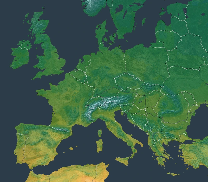
Mean Annual Temperature ERA5-Land · 2011–2025 Methodology

Compare Climate Periods
For supported layers and intervals, compare the reference climatology with complete years, quarters, or months from 2011 onward. Availability varies by layer and interval.
Reference Period
1981–2010
Analysis Period
2011–Present
Scientific Foundation
MetriClima’s current production climate layers use ERA5-Land from the active data-source registry. The Köppen–Geiger layer is derived within this ERA5-based workflow rather than imported from a separate classification dataset.
All indicators are derived from reproducible scientific workflows documented in our methodology.
View Methodology